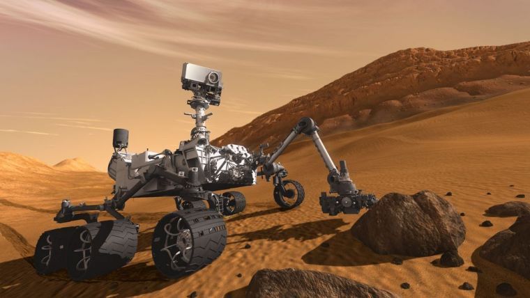
Lidar technology increases the safety of robotic vehicles for Mars landings
In the future, when robotic spacecraft land on Mars or the Moon, a new Lidar approach may help them avoid dangers.
According to a recent study, this eliminates the motion blur that is evident with conventional Lidar techniques.
Principal scientist Farzin Amzajerdian PhD from NASA Langley Research Center presented the study's findings in a talk titled "Development of a 3D Flash Lidar for Terrain Sensing and Safe Landing on Planetary Bodies." In December 2022, he was giving a speech at the Optica Laser Congress in Tacoma, Washington.
“Lidar technology plays a critical role in future missions to the Moon, Mars and other solar system bodies, since they require precision safe landing at specific locations where valuable resources may be found or may lead to important scientific discoveries” said Amzajerdian.
Super-resolution algorithm
Flash Lidar is helpful during the robotic vehicle landing procedure for a number of reasons.
- Flash Lidar can be used to create 3D landscape maps from an altitude of several kilometers when a vehicle descends to a surface in order to eliminate position error.
- High-resolution 3D flash Lidar images can be utilized to identify dangerous terrain characteristics and choose the safest landing place once it is roughly a kilometer above the landing site.
- Flash Lidar can be used to track terrain characteristics and direct the vehicle to the chosen landing area during the final approach.
To do away with the necessity for a scanning gimbal, the researchers recently tested a super-resolution algorithm they had created.
To solve the problem, they enlarge the Lidar field of view to include the full region of interest before shooting a series of photographs of the same scene from various vantage points. The scene is then rendered in high resolution using the computational combination of these photos.
Reduced range noise
“Our super-resolution algorithm allows for a stand-alone compact Lidar sensor since it doesn’t require position and attitude data from an external sensor,” added Amzajerdian. “This approach also lowers range measurement noise, recovers bad pixels and reduces acquisition time because of the Lidar high frame rate.”
STAY ON TOP OF THE NEWS
Join the free newsletter to receive the latest updates in your inbox.
At the NASA Langley Research Center's gantry facility, the researchers used a danger field underneath a moving platform to test the new method. The facility raised the flash Lidar system to a height of 64 meters above the ground and added random lateral and vertical motion.
The results of the studies demonstrated that the super-resolution algorithm significantly reduced range noise while generating images with at least 25 times the resolution of those obtained with flash Lidar alone.
To demonstrate its capabilities for upcoming landing missions, the researchers are currently creating a prototype with an updated Lidar system for use in a series of aircraft flying tests.


LiDAR INSIGHTER Newsletter
Join the newsletter to receive the latest updates in your inbox.

