U.S. Forest Service Offers Online Lidar Technology Training Tutorials
The U.S. Forest Service Remote Sensing Applications Center is providing six online tutorials on Lidar technology, offering valuable training opportunities.
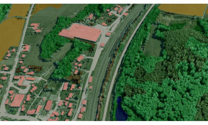
The U.S. Forest Service Remote Sensing Applications Center is now offering six online Lidar technology training tutorials. These tutorials provide a comprehensive overview of Lidar technology, its applications, and its advancements. Lidar, which stands for Light Detection and Ranging, is a remote sensing technology that uses laser beams to measure distance and create detailed 3D maps of the Earth's surface. This technology has a wide range of applications, from forestry management to urban planning and disaster response.
The tutorials cover various aspects of Lidar technology, including hardware and software components, data collection and processing techniques, and the analysis and interpretation of Lidar data. The tutorials are designed to cater to both beginners and experienced professionals in the field. Each tutorial is self-paced and consists of easy-to-understand modules that cover specific topics related to Lidar technology.
Lidar technology has revolutionized various industries, including forestry, infrastructure development, and environmental conservation. By providing high-resolution and accurate data about the Earth's surface, Lidar helps professionals make informed decisions and improve their work efficiency. It enables accurate measurements of vegetation, terrain, and structures, which is crucial for forest management, urban planning, and disaster response.
The availability of online Lidar training tutorials by the U.S. Forest Service will greatly benefit professionals working in relevant fields, providing them with the necessary knowledge and skills to effectively utilize Lidar technology. By offering these tutorials, the U.S. Forest Service aims to promote the adoption of Lidar technology and encourage its practical applications in various sectors.
In conclusion, the U.S. Forest Service Remote Sensing Applications Center's online Lidar technology training tutorials offer a valuable learning opportunity. By understanding the fundamentals and practical applications of Lidar, professionals can enhance their work and contribute to industries such as forestry, infrastructure development, and environmental conservation.
Keywords: Lidar technology, online training, U.S. Forest Service, Remote Sensing Applications Center, applications, data collection, data processing, industry impact
LiDAR INSIGHTER Newsletter
Join the newsletter to receive the latest updates in your inbox.
